
(This blog post was first posted on the Remote Sensing in Ecology and Conservation journal’s website to promote the publication by Julie Fortin, Jason Fisher, Jeanine Rhemtulla and Eric Higgs. See the original post here. See the full peer-reviewed article here.)
Beginning over a hundred years ago, the Canadian government hired land surveyors to map out the mountains of western Canada. These surveyors used unique photo-topographic methods to create topographic maps . As a byproduct of their work, there are over 120,000 glass plate negatives of mountain photographs that have been preserved in archives such as at Library and Archives Canada.

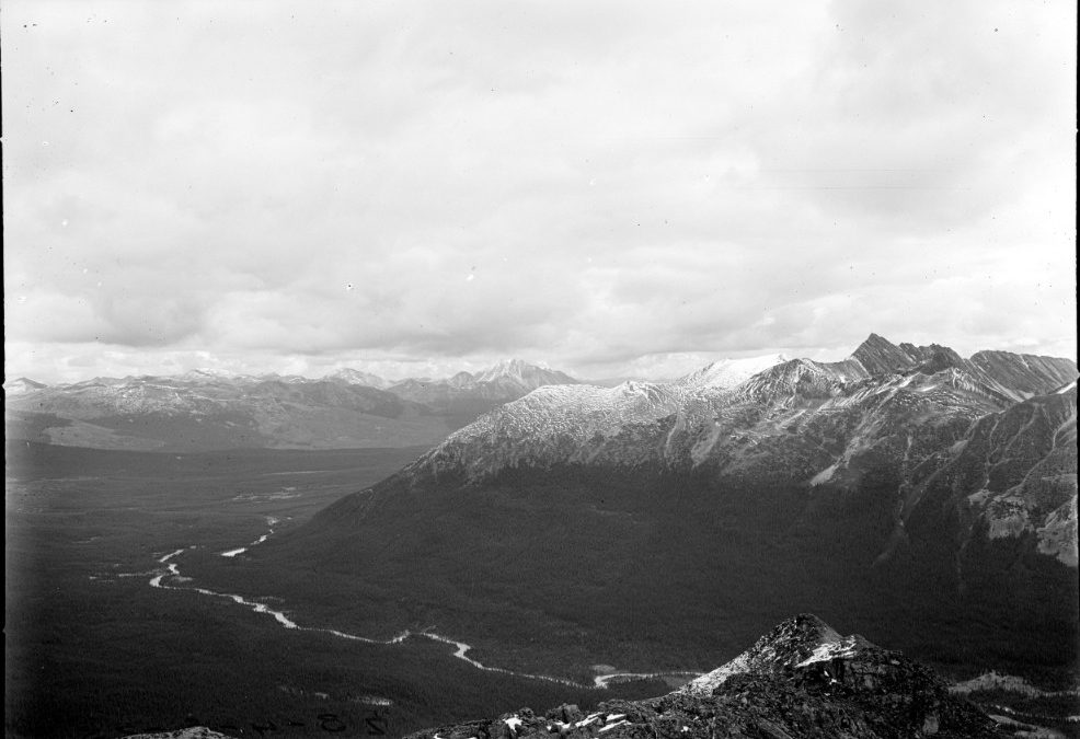
Historical photograph taken by Arthur Oliver Wheeler in 1923.
These plates offer an unparalleled view into what the landscapes of the Canadian Rocky Mountains looked like at the turn of the 20th century. Some of the historical photographs date back as early as the 1860s. For comparison, reliable aerial or satellite imagery only began several decades later, in the 1940s/1970s, respectively.
The challenge lies in quantifying land cover in these land-based photographs. While estimating area is straightforward with satellite images (simply count the number of pixels and multiply by the pixel size), the same is not true with land-based photos. Pixels near the camera in land-based photos represent a much smaller area than pixels farther away, and parts of the viewshed can be obscured behind ridges.
Given the immense potential to study long-term landscape change using these historical mountain photographs, we sought to overcome this challenge. We wanted to know whether land cover proportions estimated from land-based photographs were similar to land cover proportions estimated from satellite imagery.

Example of a modern photograph (a) with its corresponding classification (b). Dotted lines represent subhorizons beyond which parts of the landscape are not visible from this viewpoint. A pixel at point A represents a smaller area than a pixel at point B.
We classified some modern-day repeats of historical photos, and compared our classifications to a classification of a Landsat image taken around the same time.

Landsat-based classified map of the study area (the Willmore Wilderness Park in west-central Alberta). Map courtesy of J. Gould & M. Wheatley.
We found that overall, both types of imagery paint a broadly similar picture. They agreed for dominant classes (coniferous forest, herbaceous, rock), but showed key differences for rare classes. Namely, the land-based photographs were more likely to resolve narrow landscape features such as rivers, and offered a more appropriate view of steep slopes.
With these results in hand, we returned to our goal of studying long-term land cover change. We compared classifications of historical photographs and their corresponding modern repeats.

Historical photograph taken by William Henry Miller in 1928 (top left), repeat photograph taken by the Mountain Legacy Project in 2014 (top right) with corresponding classifications.
We found that over the past century, the Rocky Mountain landscape has become more homogeneous: forest grew from 40% to 52% of the cover in the photographs, while just about everything else declined (e.g. alpine meadows went from 16% to 9%, wetlands from 5% to 4%). The likely culprits? Climate change, which is allowing forest encroachment through phenomena like treeline creep, and decades of wildfire suppression.
Importantly, examining these changes in land-based photographs allowed us to detect changes in rare classes that may have been missed if we had used coarser Landsat imagery.
While the collection of historical photographs mentioned here is unique, it is by no means the only significant data set of land-based photographs that could be valuable for land cover monitoring. Our study points to the potential of harnessing information on landscape composition from this widespread and inexpensive source of data. This has implications for the temporal span, temporal frequency and spatial resolution of all kinds of habitat (and, by extension, biodiversity) monitoring efforts.
The paper Estimates of landscape composition from terrestrial oblique photographs suggest homogenization of Rocky Mountain landscapes over the last century has been published in Remote Sensing in Ecology and Conservation