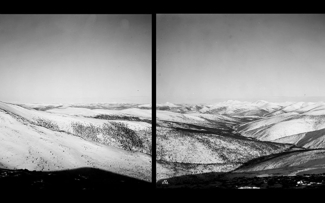
Editor’s Note, April 25th, 2018: Alex Hakonson has an update to this article – he has located the stations where William Ogilvie stood when he took the images detailed in this post. Alex has created an image taken from Google Earth with the photo plate numbers marked on it. Take a moment to look over the story again, this time pausing at the image location picture. Imagine yourself in William Ogilvie’s shoes back in 1895/96 — he and his team must have been made of pretty stern stuff!
Victorian geography, like other sciences of the era, placed great importance on the act of collecting. Landscape, though impossible to physically retrieve, was systematically photographed and brought back to government topographers as glass plates, to be reassembled, measured, and catalogued. Most often the photographs would be taken as multi-plate panoramas: capturing as much of the surrounding territory as possible from commanding mountain peaks.
By the time Canada stopped using glass plates for survey photography, they had assembled a collection of hundreds of thousands of images, detailing a huge swath of the western cordillera’s topography. This photographic evidence allowed the Dominion to exert its control over the more remote reaches of its territory through the production of precise maps; the establishment of routes of travel to resource rich parts of the country; and the solidification of international boundary lines. Throughout the whole process copies of the images were printed and bound, together, in giant tomes: page after page of panoramas of Canada’s territorial holdings; like a photographic encyclopaedia of the country or an uncannily prescient precursor to Google Earth.
The photographs shown here are from William Ogilvie’s 1895-96 survey of the 141st Meridian west: the international boundary line between Alaska and the Yukon Territory. This was Ogilvie’s second journey to the Yukon and he was able to continue his previous work by starting to make a cut-line along the border between the Yukon River and the 60 Mile River. When the Klondike Gold Rush started shortly after, few if any of the would-be prospectors questioned whether they were in Canada or the United States.
Approximate area of Ogilvie’s 1895-96 survey area is shown in orange on the map opposite. The Department of the Interior Annual Report 1896-97 situates him on the 141st Meridian west 7 miles north of the Yukon river and about 40 miles south of same (as far as 60 Mile River). A digital copy of his account in the Dept. of the Interior’s Annual Report is available online from Hathi Trust’s digital library.
Maps made using W. Ogilvie’s photo-topographical images
In total 38 maps comprise the international boundary along the 141st meridian from the Arctic Ocean to Mount Saint Elias. The maps created from Ogilvie’s 1895 and 96 surveys are on sheets 21 to 24 (left to right below). The full set of maps is available for download at Natural Resources Canada GEOSCAN.


