WATERTON LAKES NATIONAL PARK
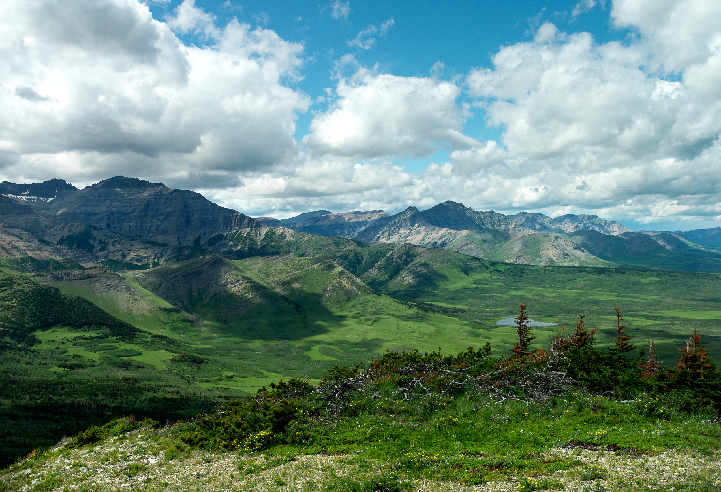
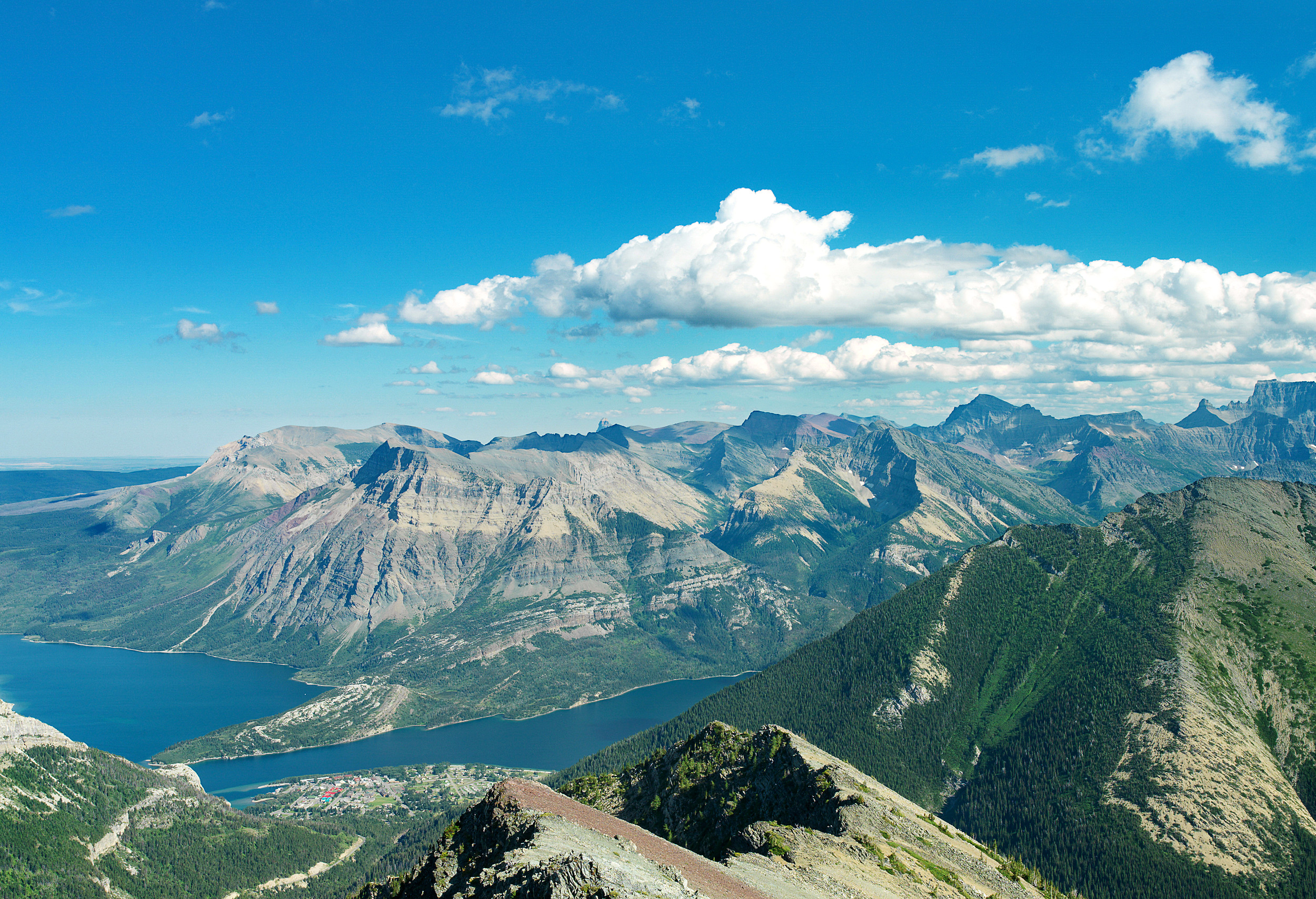
Anyone who has had a chance to visit Waterton Lakes National Park will likely say that one of its distinguishing features is the dramatic transition from prairie into mountains. As one enters the small 505 km2 park tucked into the southwest corner of Alberta, Canada, they are surrounded by the foothills parkland ecosystem which is characterized by rough fescue grass interspersed with trembling aspen or balsam poplar, an ecosystem that is not represented in any other national park (Parks Canada Agency, 2010). The foothills parkland transitions into montane, subalpine, and alpine ecoregions that, all together, are some of the most biodiverse places in the province. As the fourth national park ever created by the Parks Canada Agency in 1895, Waterton Lakes is one of the oldest protected areas in Canada.
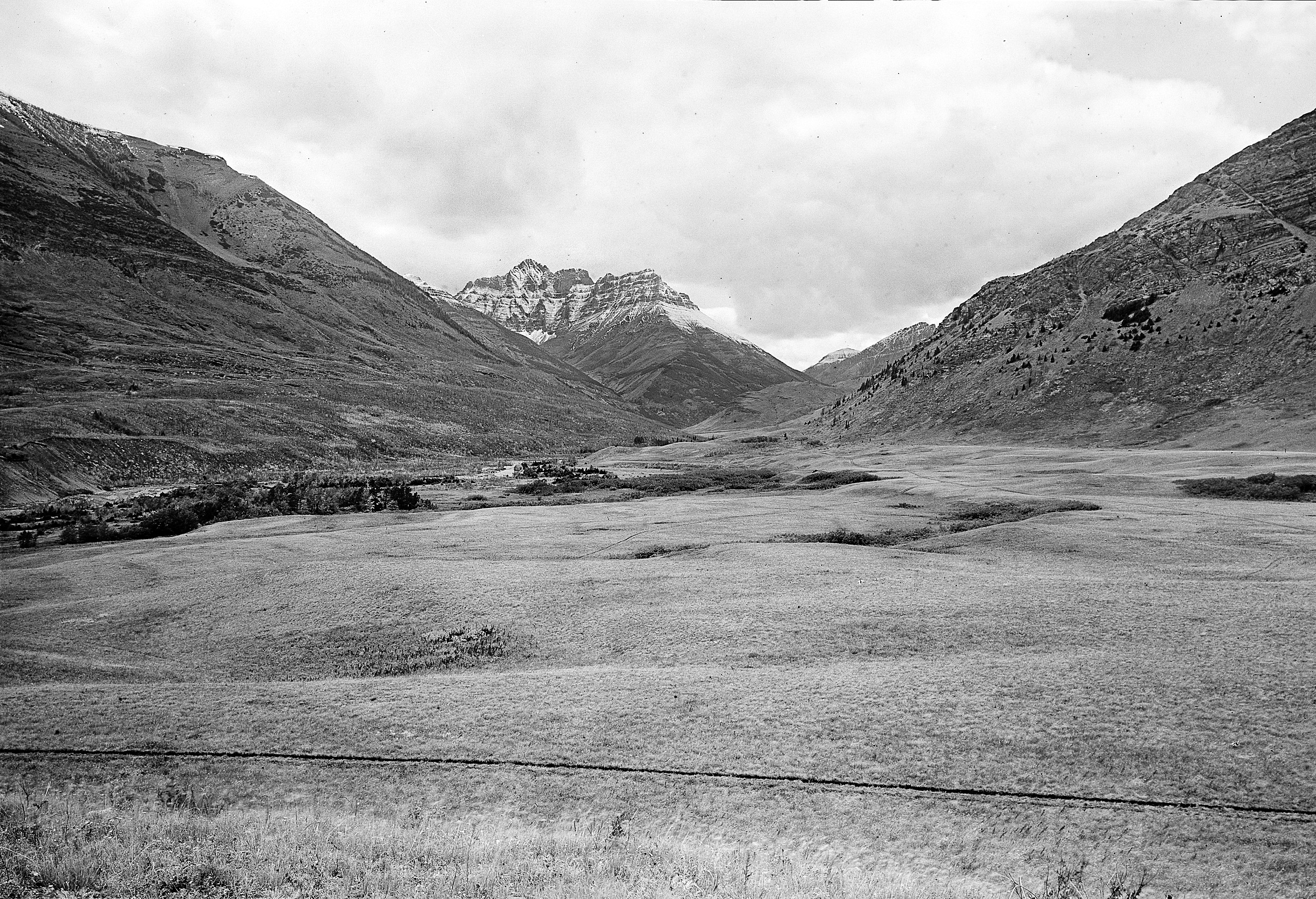
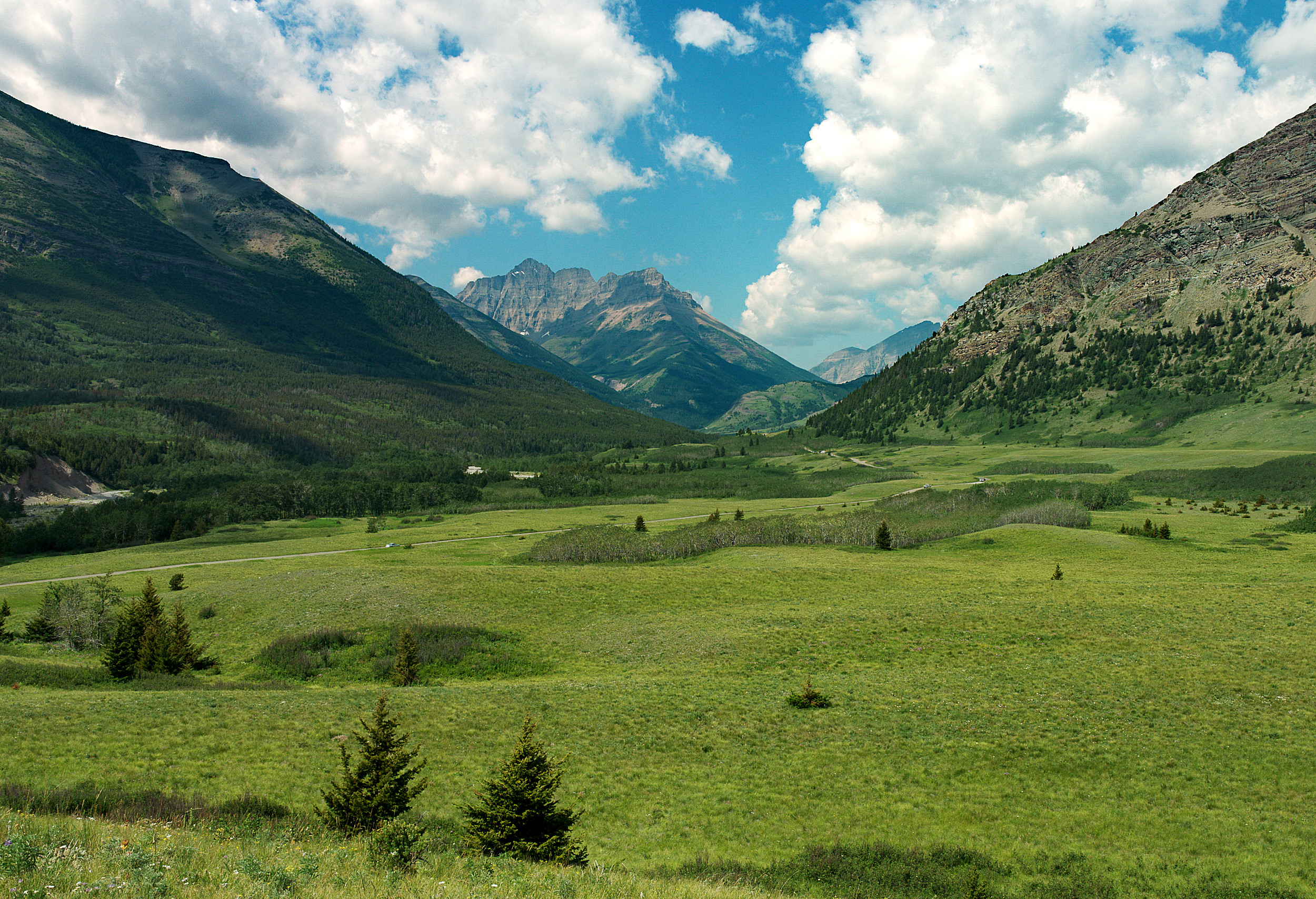
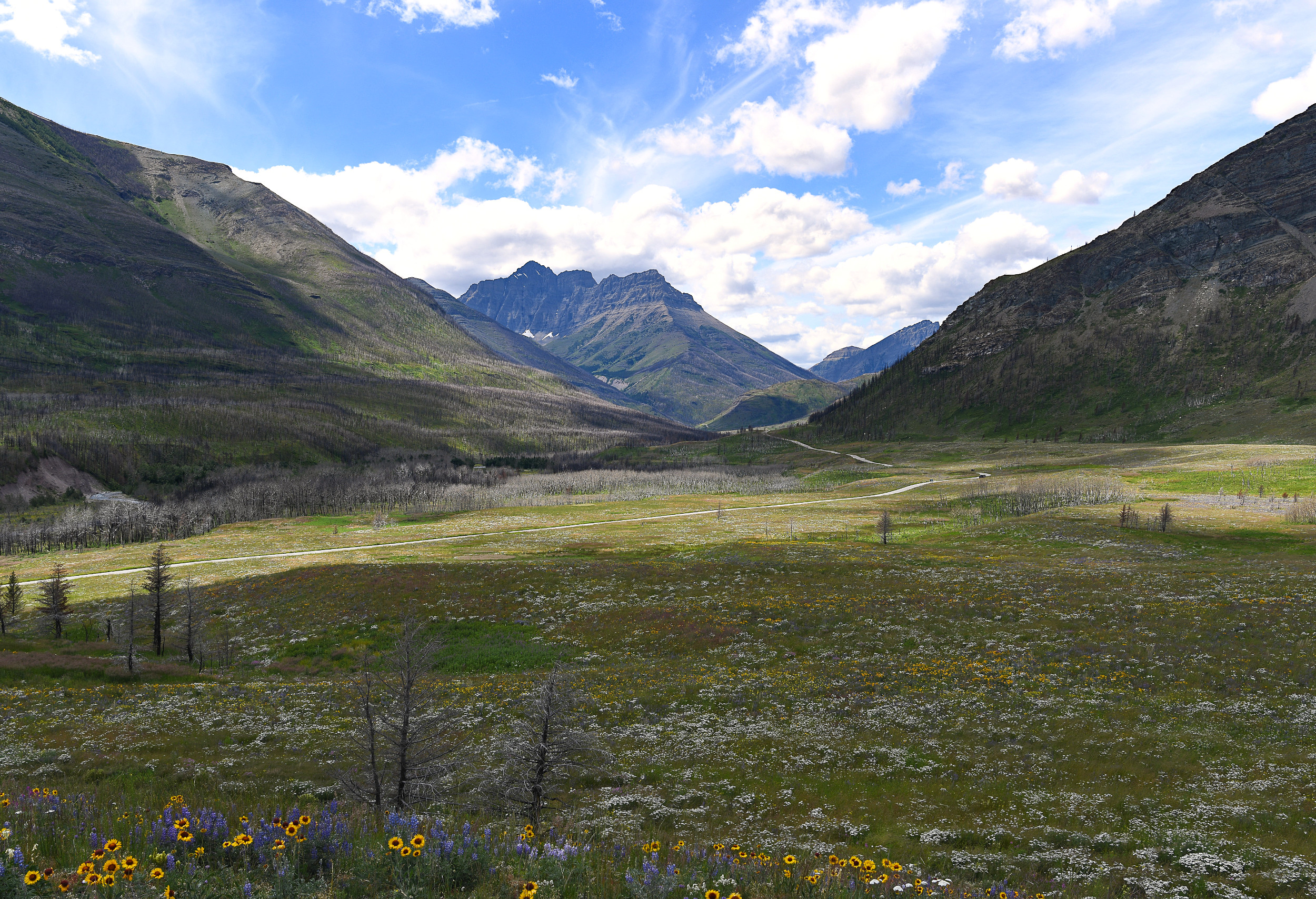
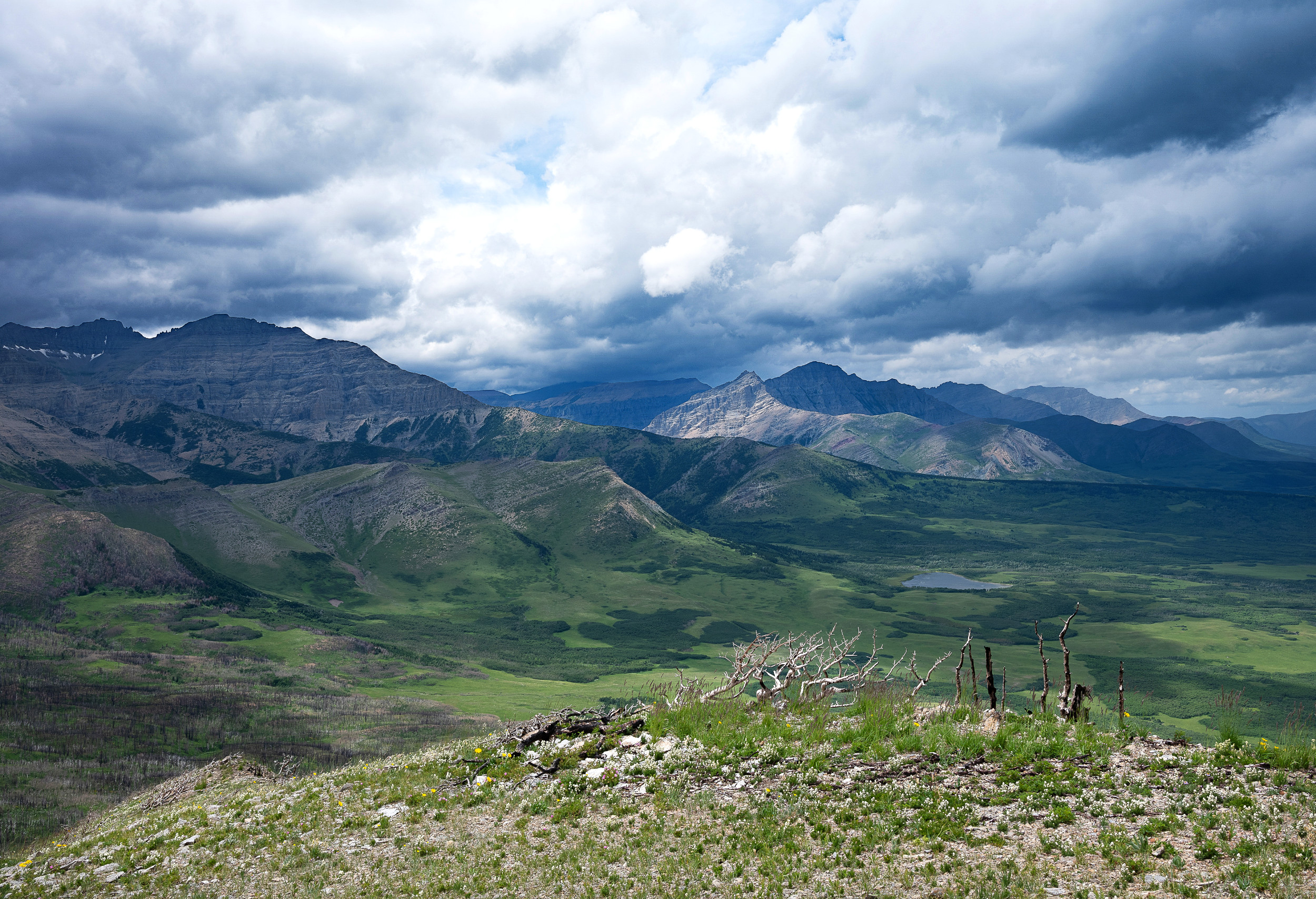
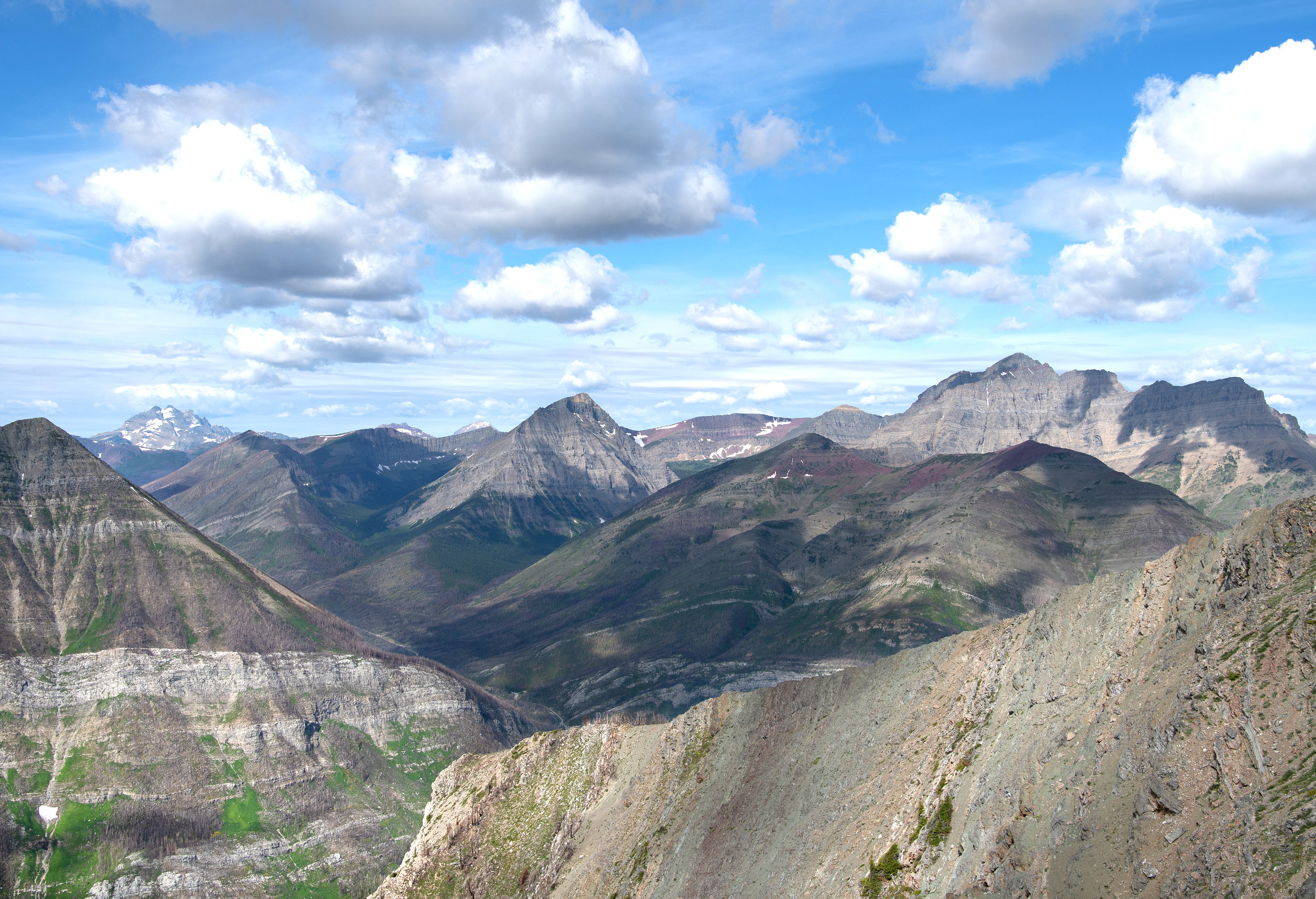
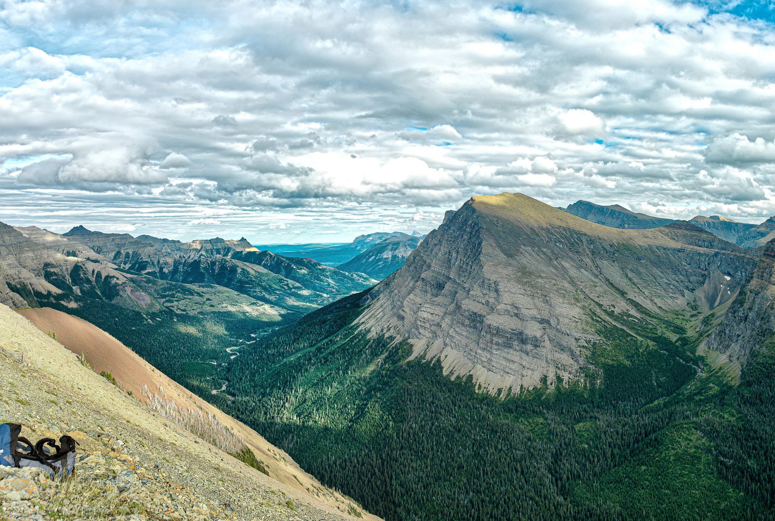
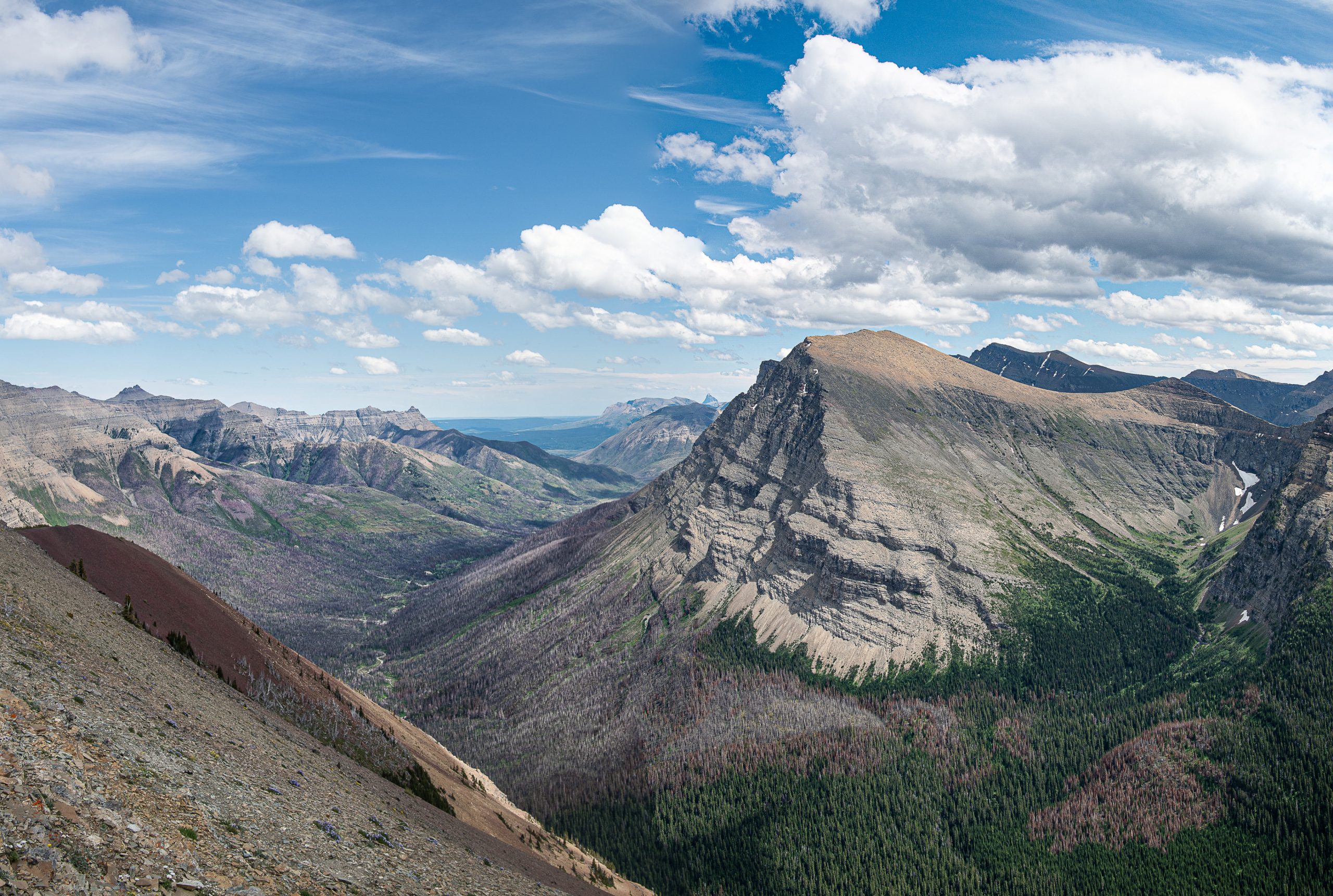
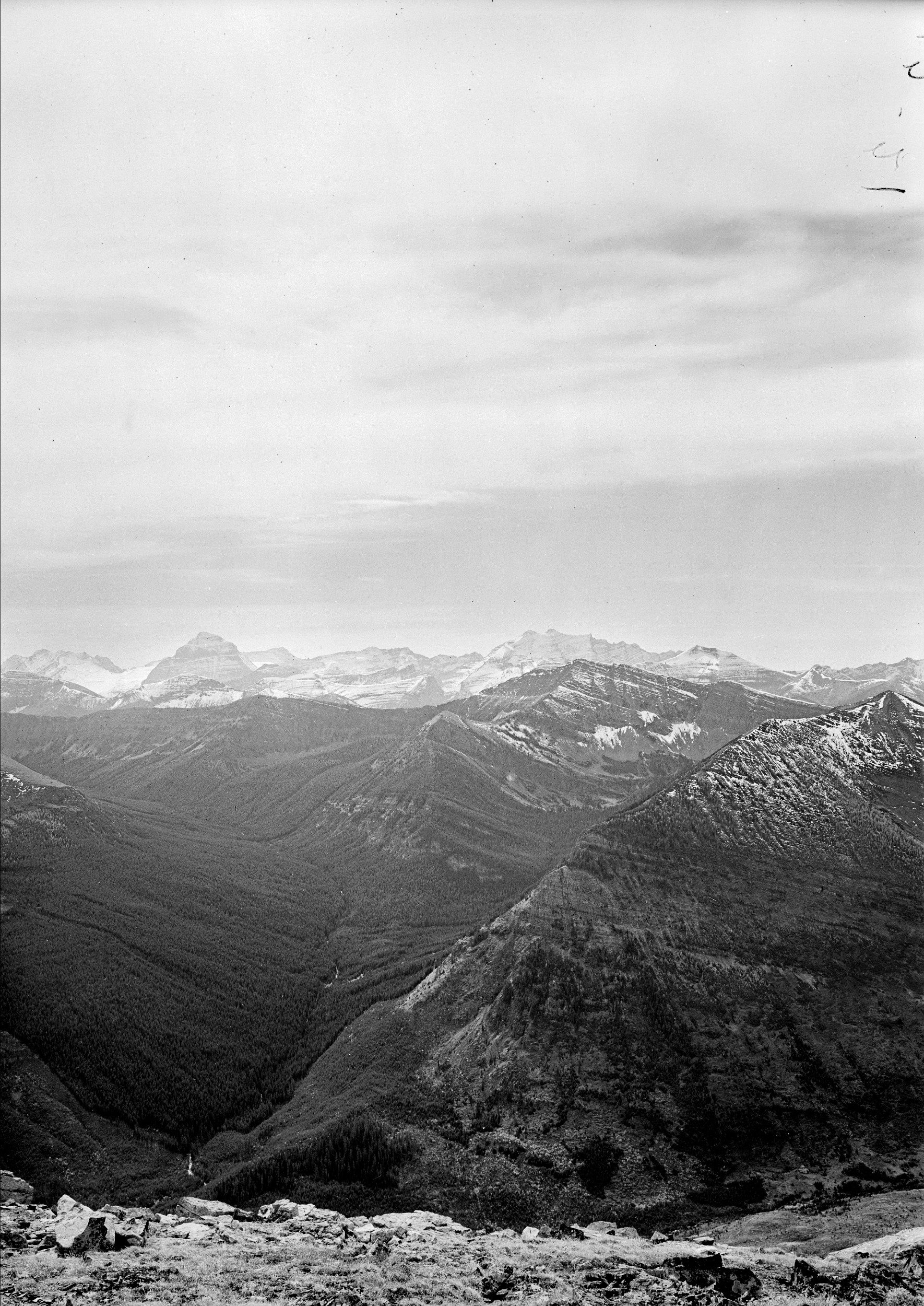
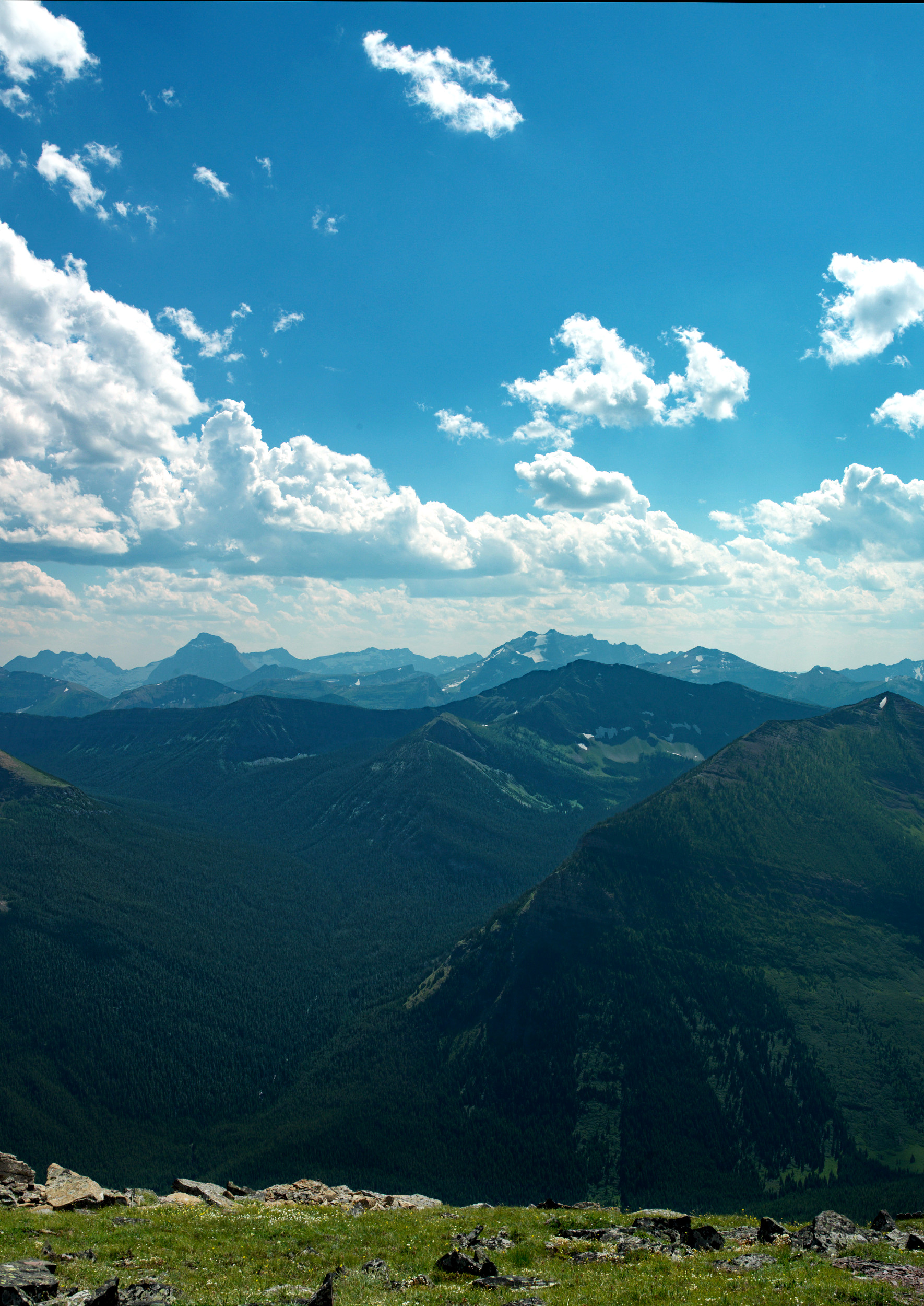
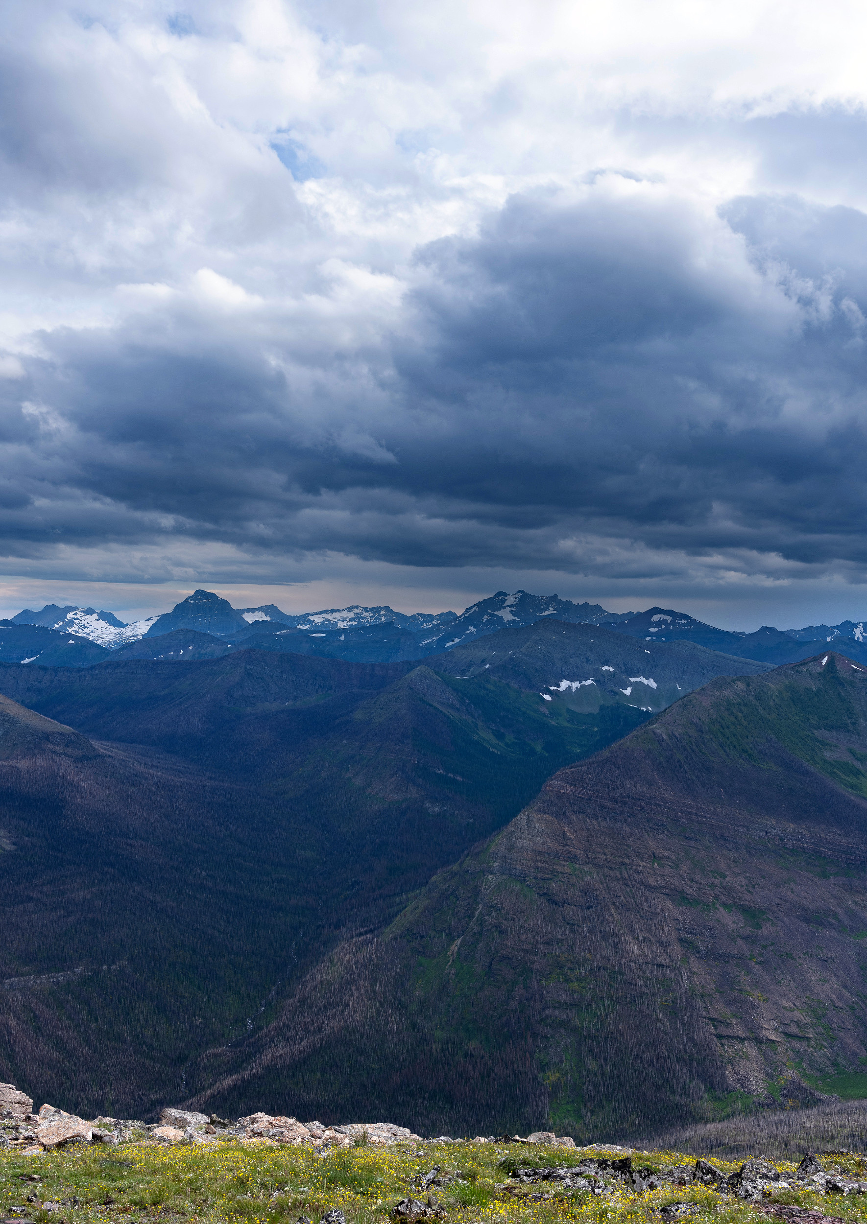
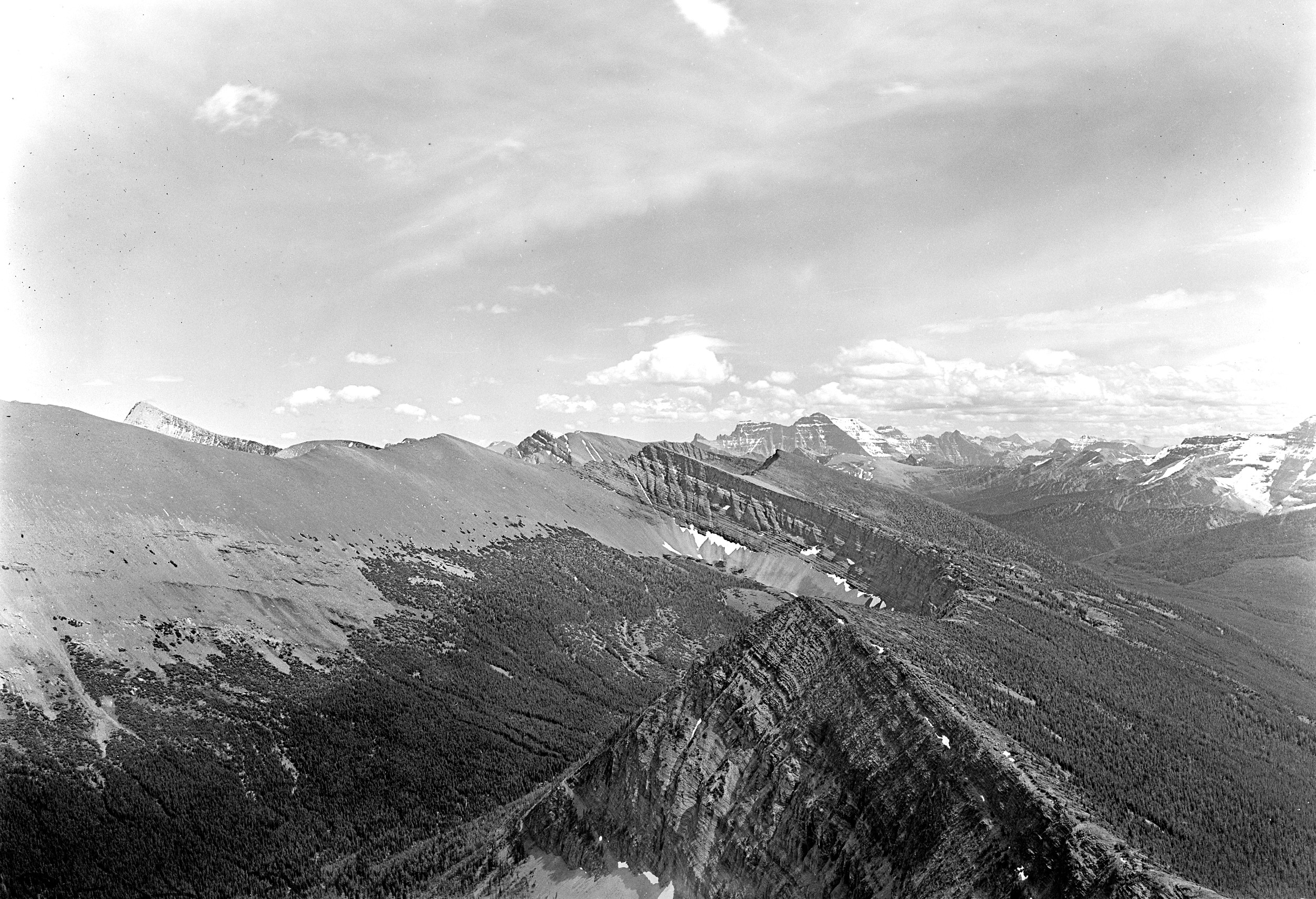
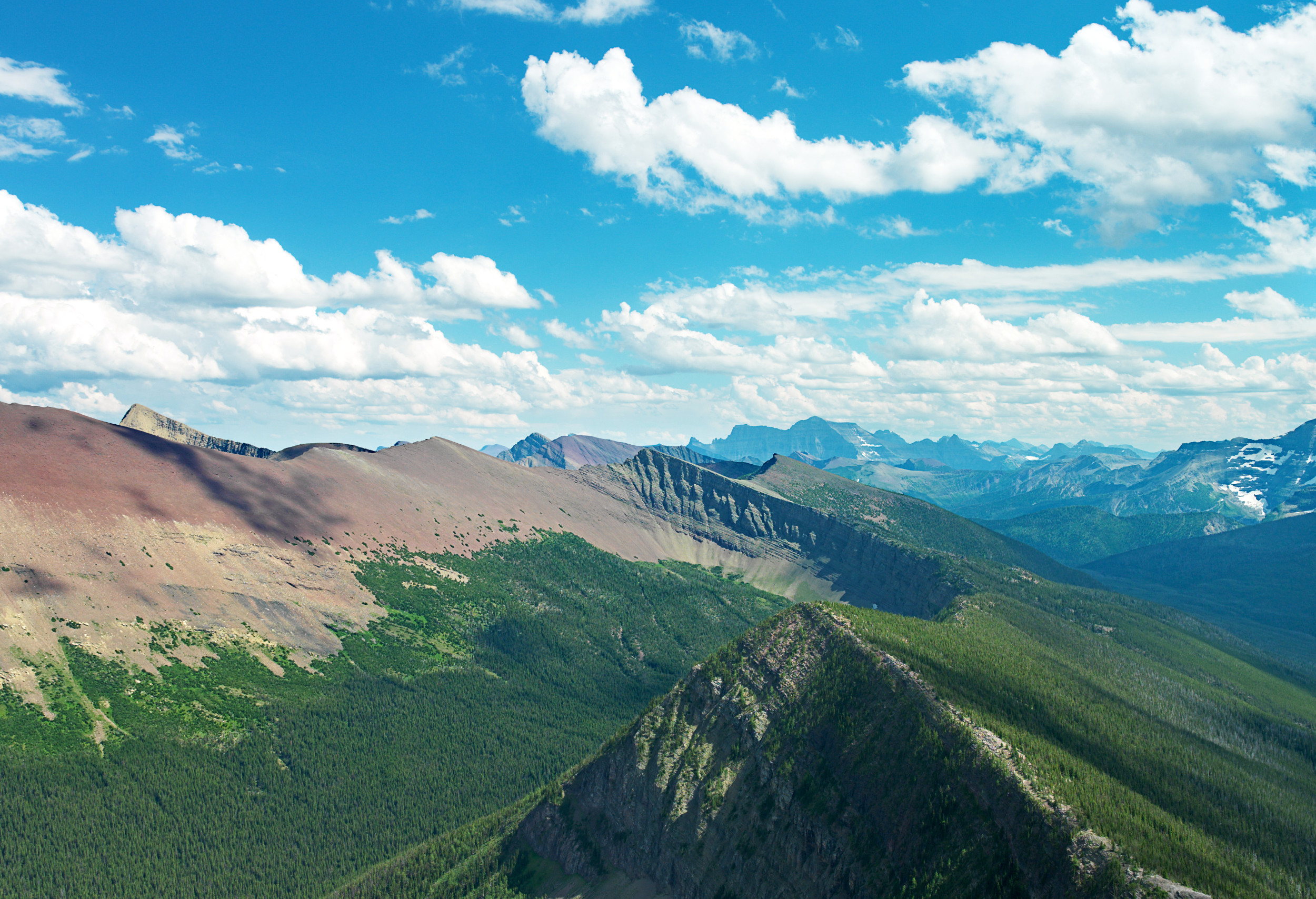
In 2017 Waterton Lakes as everyone knew it changed dramatically overnight. The Kenow wildfire burned almost 40% of the park at high to very high severity in mere hours. In the most recent fire history study of WLNP, Steve Barrett (1996) stated that “Given today’s relatively old and more-uniform forest mosaic, the large pine beetle epidemic, and recurrent droughts, major stand replacement burning may be imminent for WLNP.” Even though many expected a large fire to occur eventually, the rapid transformation of the park was staggering. The Kenow fire has created an incredible opportunity to learn about post-fire ecology under a changing climate. As part of their post-fire vegetation monitoring program, Waterton Lakes asked the Mountain Legacy Project to come and do repeat photography to capture this striking moment in time. The Mountain Legacy Project and Waterton Lakes National Park have almost 2 decades of history shared between them as many of the historical photos had been repeated once before between 2004 and 2005. Thus, this is third time the MLP has returned to Waterton Lakes, offering a third-view of many iconic mountain landscapes.
The purpose of this website is to showcase a sample of the third-view photo collection in Waterton Lakes. For the nostalgic among us these photos offer the opportunity to look back at how the landscape used to be, before the Kenow wildfire. The historical photos extend even greater space for reflection on how the landscape is in fact always changing. Furthermore, this project will feature the social science research that was undertaken in Waterton Lakes by MLP masters student Cassandra Buunk from 2018 to 2021. Seeing just how much the landscape changed inspired her masters project which centers around photo-elicitation interviews with a group of park staff. Cassandra wanted to understand their experience with the Kenow wildfire and how it shapes the way they think of park management and ecological restoration in the face of climate change and ever-present uncertainty.
Use the tabs above to learn more about the history of photographic surveying in Waterton Lakes and the MLP’s involvement over the years, Cassandra’s research (forthcoming), and image analysis work being undertaken to study landscape change (forthcoming). Scroll down to explore a collection of third-views from iconic spots in the park.
A key pillar of the shared history between Waterton Lakes National Park and the Mountain Legacy Project is the historical photograph collection created when the mountains of what is now Canada were first being mapped using the technique of photo topographic surveying. The historical photos in this collection were taken by four different surveyors and provide full coverage of the park (Figure 1). The most prolific surveyor in Waterton Lakes and across the Canadian Rockies was Morrison Parsons Bridgland who worked for the Dominion Lands Survey (DLS). When Bridgland was at the start of his career he was mentored by Arthur O. Wheeler, a renowned surveyor with the DLS. Wheeler was responsible for the Interprovincial Boundary Survey between Alberta and British Columbia on the western edge of Waterton Lakes in 1915 (MacLaren, 2005). Surveyor W.F Cochrane was a part of the International Boundary Commission that mapped the 49th parallel between Canada and the U.S. in 1909, and Albert Campbell Termain Sheppard surveyed the Flathead Valley in 1914 which included a few stations in Waterton.
In one of Bridgland’s few written accounts from his time in Waterton Lakes he wrote, in a particularly apt description of the park, “The country to the east becomes much more rugged and broken, peaks from 7,500 to 8,500 feet in height extending to the easterly limit of the reserve, where the change from mountains to very low foot-hills or rolling prairie is very abrupt” (cited in MacLaren, 2005, p.90).
 Map showing all stations in Waterton Lakes National Park with a select few labelled for reference. The stations are from all 4 historical surveyors.
This is an excerpt from Cassandra’s thesis research highlighting how Parks Canada staff experienced the impacts of Kenow wildfire on a personal level, and the challenges they faced as a park. Quotes from participants in her research study are labelled P# throughout to respect anonymity.
“Given today’s relatively old and more-uniform forest mosaic, the large pine beetle epidemic, and recurrent droughts, major stand replacement burning may be imminent for WLNP” (Steve Barrett, Fire history of WLNP, 1996).
“It was literally like entire mountains on fire at once” (P7).
The Kenow fire was a significant event ecologically and in the lived experiences of people living and working in the area. This was the first time in Parks Canada’s history that an entire park and townsite were evacuated. A few days after the fire started in BC, a participant commented that “the sky turned green and there was ash falling” (P7) which was the beginning of a realization that this fire may turn into something big and enter the park. The park had a week to get organized and prepare as the fire “boiled around” (P7) on the west side of the continental divide in BC. During that week the park focused on suppressing a spot fire near the divide to stop it from coming over into the park, and it is likely that the fire would have jumped over sooner than it did had these measures not been taken. If the fire would have come over earlier, a participant said “it would have taken a run at Lethbridge or as far as it could run across the prairies” (P2) rather than stopping just outside the park boundary when the wind finally turned back on itself.
It was the third driest year in recorded history and there were fires happening all over BC and Alberta. In fact, the Verdant Creek wildfire in British Columbia’s Kootenay National Park burned a similar amount of area (just over 18,000 hectares) around the same time in 2017 (Parks Canada Agency, 2019d). The Kenow fire burned in the early fall under extreme wind conditions. One participant remarked, “A fire in those conditions, you don’t put them out. It doesn’t happen. You trade space for time” (P8).
The Kenow fire burned from “ridge-top to ridge- top” (P13), up both the Red Rock and Akamina valleys at the same time. The fire crews were taken off guard as they had only been focusing on the Akamina valley that led to the townsite. This meant that the last employees evacuating the park drove out with fire on both sides of the highway. Despite how close the fire came to burning the townsite (See Cameron Bend photos in Gallery), it was largely unscathed. A participant commented:
“We really dodged a bullet. And…there was a reason we dodged a bullet there…as part of the fire management program and wildfire risk reduction we’ve been actively taking efforts to protect our communities by creating fire guards, and things like that…over the past 10 years” (P13).
Despite the town being unscathed, some infrastructure was destroyed in the fire including the Crandell Campground, new Visitor Centre, Alpine Stables, and some staff accommodation (Parks Canada Agency, 2019a).
Most people understood a large fire would likely happen eventually because fire is a natural process in the park and there was plenty of fuel available, “Kenow could have happened dozens of times” (P11). Though one participant reflected, “I don’t think a lot of people ever foresaw a fire quite like this because it…. redefined a lot of things about fire behaviour…with the speed that it moved at and the uniform severity of it, and that it happened at night” (P7). Another surprise for the fire crews was that aspen stands, which are normally considered a fire break when they are green, were burned severely: “I’ve never seen a fire move through aspen the way this fire moved through aspen” (P11). A fire break was bulldozed around the northern boundary of the park that abuts private ranch lands and fire retardant was used to help stop the fire’s spread. While looking at the photo from Lakeview Ridge that shows the area where these actions occurred, a participant explained that bulldozing and fire retardant was an “unprecedented control effort for a national park to pull those measures out in an effort just to make sure that it didn’t move any further” (P7).
Participants’ experience of the Kenow fire while it was burning and in the aftermath was suffused with mixed emotions. One participant explains feelings they and other staff felt:
“For the first year after as we went back to these places for the first time, and there’s still places to go back to for the first time, it’s kind of stunning … it’s emotional, or it can be, and it takes a bit of energy to, to just put to that…a bit of a grieving for… the landscape that you knew. But of course, … I’m always positive about it…that’s just the way it is, it’s something we can’t change, but it… still kind of grabs you a bit” (P7).
Mixed feelings of grief over loss, and excitement over the opportunity to learn were felt by many. In one case, a participant said: “I was worried about… the human side of it, but I never once…really worried about the park” (P5), reflecting on their fears over the community and staff’s safety during the event. Some participants lived close to the park, one of which describes their anxiety as the fire moved closer, “I eventually…went home and packed up more of…our stuff and thought okay, this is actually…happening, we may lose our house tonight” (P7). Another participant was surprised at the depth of emotional response they felt in witnessing the changed landscape because they didn’t consider themselves an emotional person, jokingly explaining their belief why – “I’m a scientist, it’s terrible” (P1). They understood that fire was an important natural process and were excited at the opportunity to learn. They said:
“From an ecological perspective, it’s fascinating, so many neat things to see, so much to learn…. I think a lot of us rallied behind that, lots to get done, you don’t want to miss that opportunity. And [there was a lot] of work… projects and partnerships …to put in place… that kept us all busy…. So from a rational perspective, really interesting….From the emotional perspective…I was really surprised how impacted I was by just physically seeing what you know, is ecological renewal or whatever you want to call it, but it’s ugly and devastating” (P1).
Another participant articulates their mixed feelings:
“I’ve been more excited by the change in the landscape and interested by it. Sometimes…, in the winter especially, in a burnt forest I miss like the color of the evergreens…, it is nice…to be in a live forest at times, it’s more calming…. Especially with the wind and the dead trees and stuff it can be a harsher landscape” (P4).
Being physically in a landscape that a participant knew as existing one way that suddenly underwent transformation so rapidly was described as disorienting:
“A couple of times last summer I was walking on trails … that used to be … heavily forested…, and I never felt this before…. I felt vertigo as I was walking down these trails…you’re on the mountain and you’ve got a solid space here but then it drops away and there’s nothing but burnt trees…and it’s not blocking your view, so I got really dizzy…. definitely disorienting.” (P7)
A couple participants did not experience many emotions around the fire, but were excited to learn from it:
“It’s just kind of cool to see how the landscape changes after such an event. So it wasn’t…with any negative or positive feelings. It was just like, okay, there’s a big change event. Let’s see what’s happening” (P9).
The rapidly transformed landscape increased staff workloads two or threefold overnight which created a lot of stress and in one department’s case, staff turnover.
“There was certainly a stress on the people in the office and on the management team. It wasn’t related to the fact that the fire had come through, we all sort of intellectually understood that it’s a natural process…[P]eople were out of their homes. We had moved the entire office structure. People…weren’t doing their regular jobs during the fire, they were reporting to people who [they] didn’t normally report to you. They were sleeping in hotels. …[W]e were working 12 or 14 hours a day, every day for…weeks at a time, and it was just hugely stressful.” (P2)
Another participant said they had no doubt the landscape would be resilient, but that they “underestimated the effect on…the workplace community” (P5). To help cope with the stress there was a lot of support shared among staff across departments, and there were Critical Incident Debriefs undertaken to address the emotional and psychological needs of staff right after the event.
A source of happiness and levity for people in the aftermath of Kenow was the sight of wildflowers on the prairie (Figure 4.4), which was reported as an energizing force for healing and resilience. In seeing fireweed (Chamaenerion angustifolium) in particular, a participant reflects:
“I remember being really happy when I would drive in…, after…seeing the park in between fall of 2017 when the fire happened…. Up until that point, it looked like the parkways were just completely blackened…they looked…for lack of a better word, they looked dead. But they weren’t…. Within a few months after that it was like just a whole field of purple up on the side of a mountain” (P6).
There was also substantial archaeological work being done immediately after the fire to take advantage of the fact that over half a metre of topsoil was removed in some places. The archaeology team were finding things like blue trade beads and arrowheads which generated a lot of excitement and media coverage, uplifting people’s spirits.
“The one thing about archaeology is that people are interested in it because… it’s old. And so along with the excited archaeologist comes…media interest and then pretty soon they’ve got the TV cameras…following us around and then it hits the national news and all this stuff. And so… this momentum of good news comes through the park, and then suddenly people are starting to [say], hey, you know, this is great because…all they [have] dealt with…to that point was just disaster, just dealing with the aftermath of a disaster. So …it was kind of fun that way, but it was it was kind of surreal” (P3).
Wide-ranging emotions were felt by staff during and after the fire. Sadness and grief over loss, stress from heavy workloads, happiness witnessing plants and animals coming back, and excitement over the opportunity to learn about post-fire ecology under a new climate. Parks are workplaces, and we can acknowledge that the changes that happen in them impact the people working in them on deep levels. The personal experiences of people working in the park and the challenges they have faced were described here to shed light on the human aspects of conservation.
The MLP developed the Image Analysis Toolkit (IAT) which is custom software that allows anyone the ability to quantify the landscape changes visible in image pairs. It is easy to use and available free to anyone to analyze MLP images or images of their own (Link to IAT).
A selection of 5 image sets from WLNP were classified using IAT and machine learning software being developed by MLP research assistants.
Third-View Image Galleries
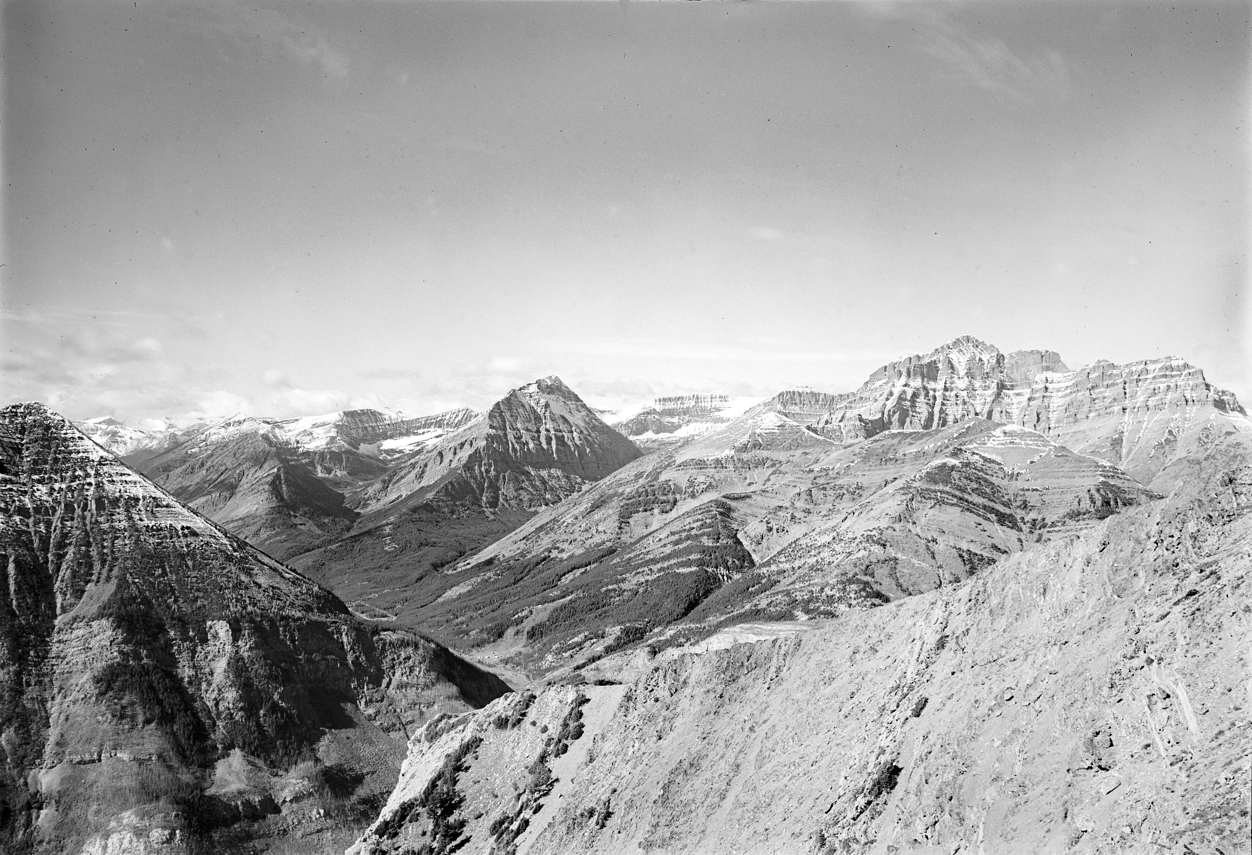
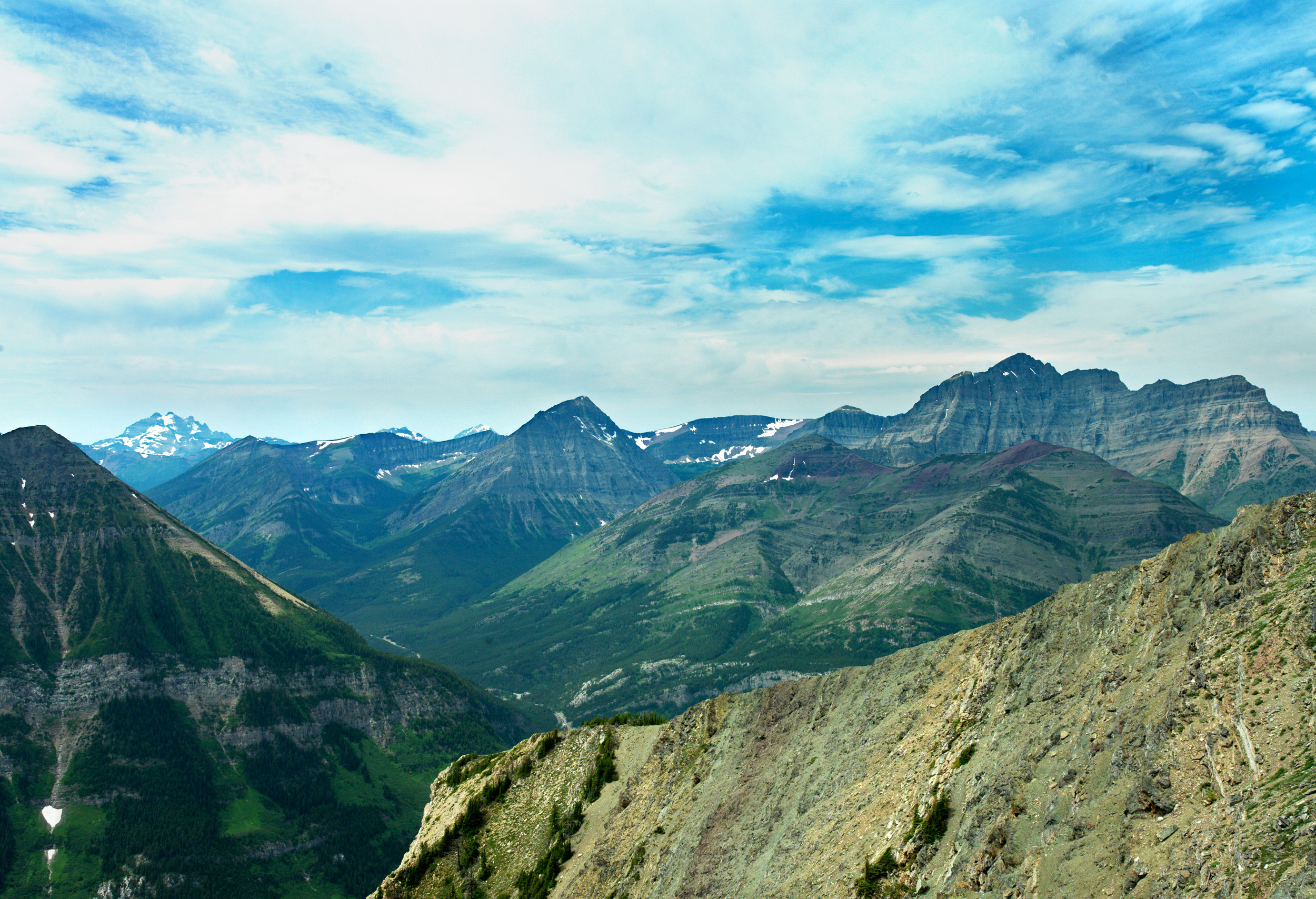
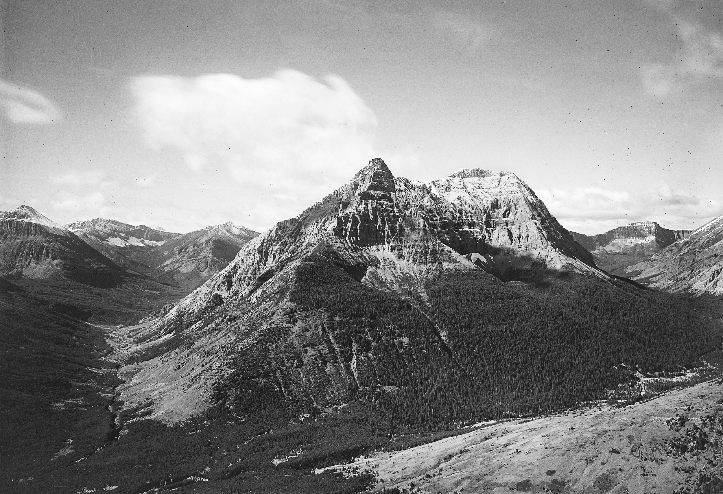
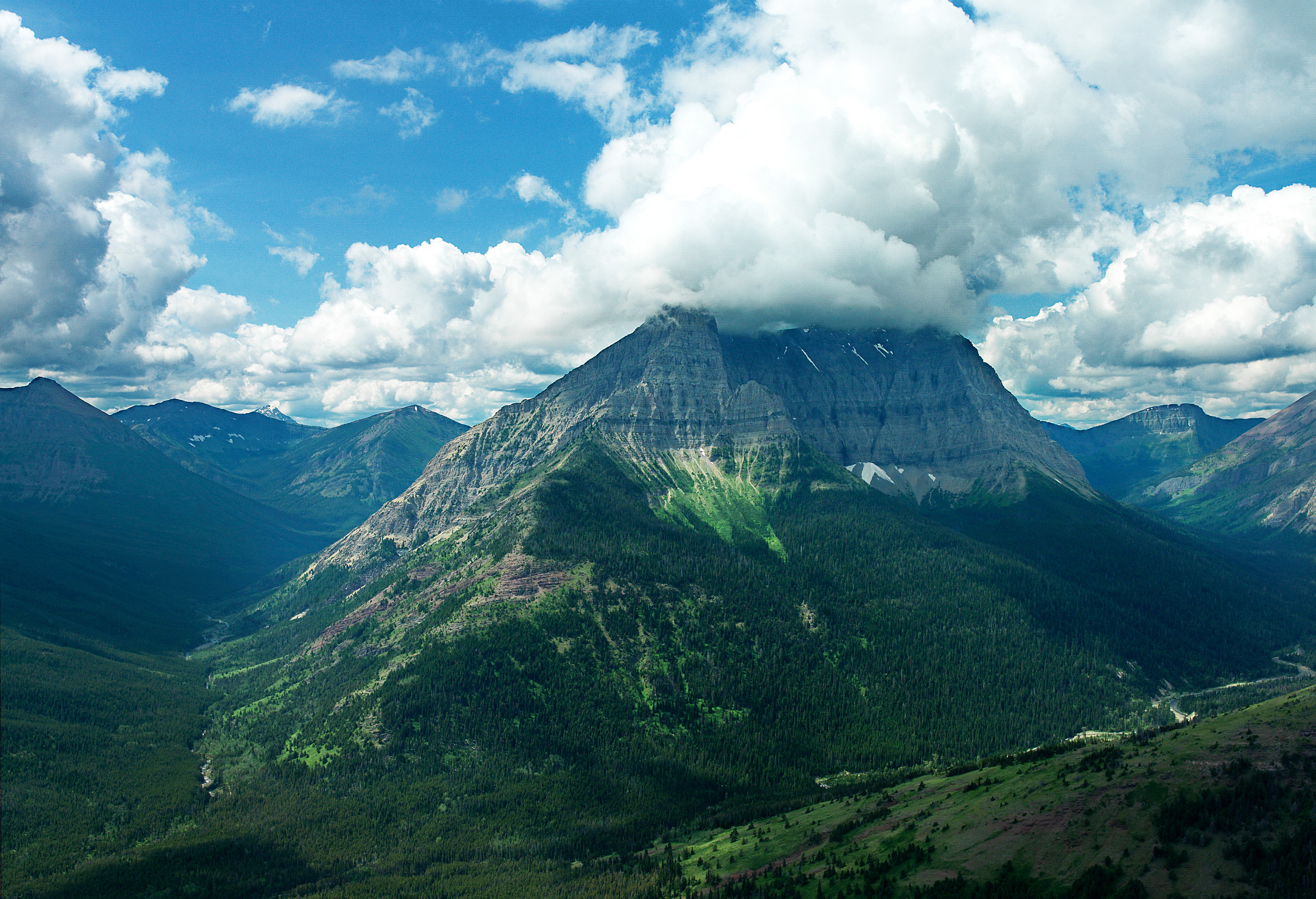
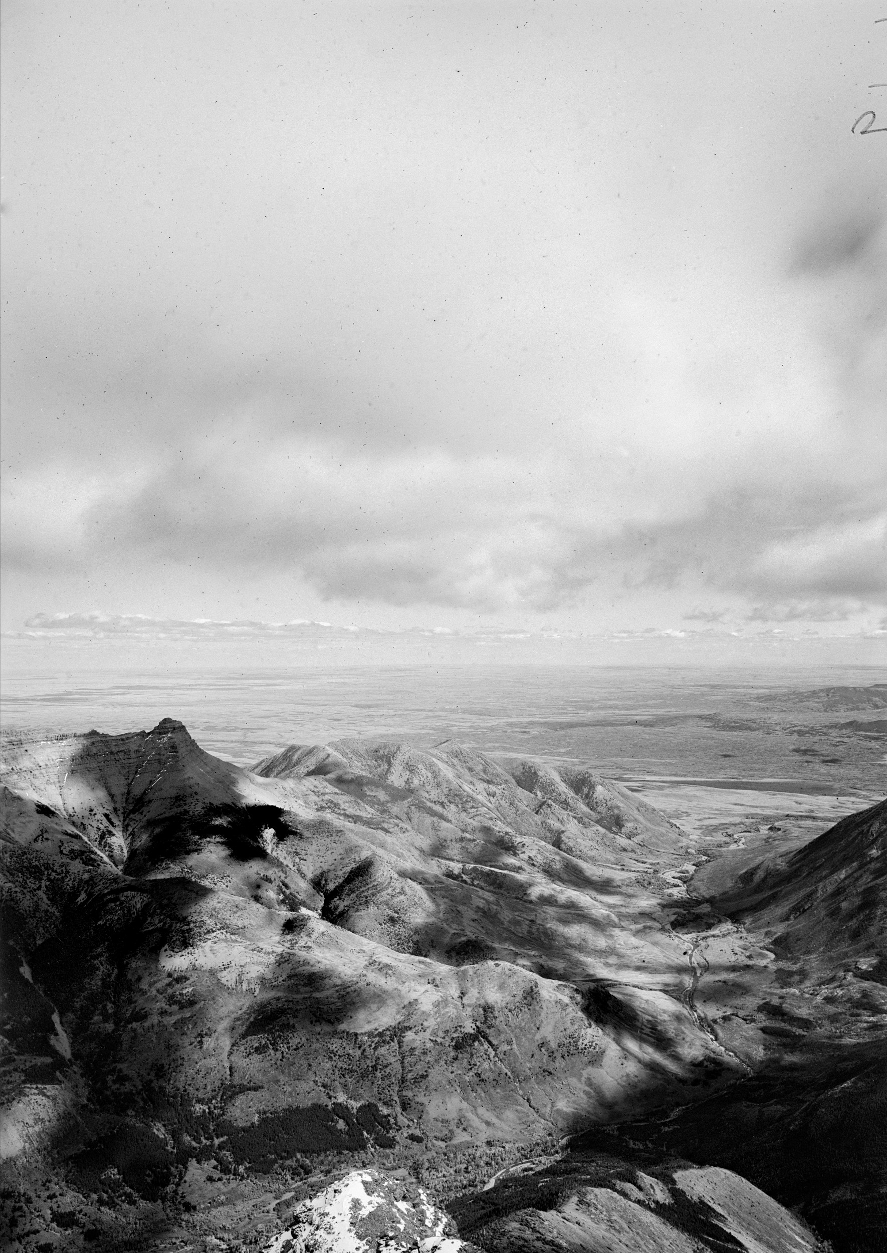
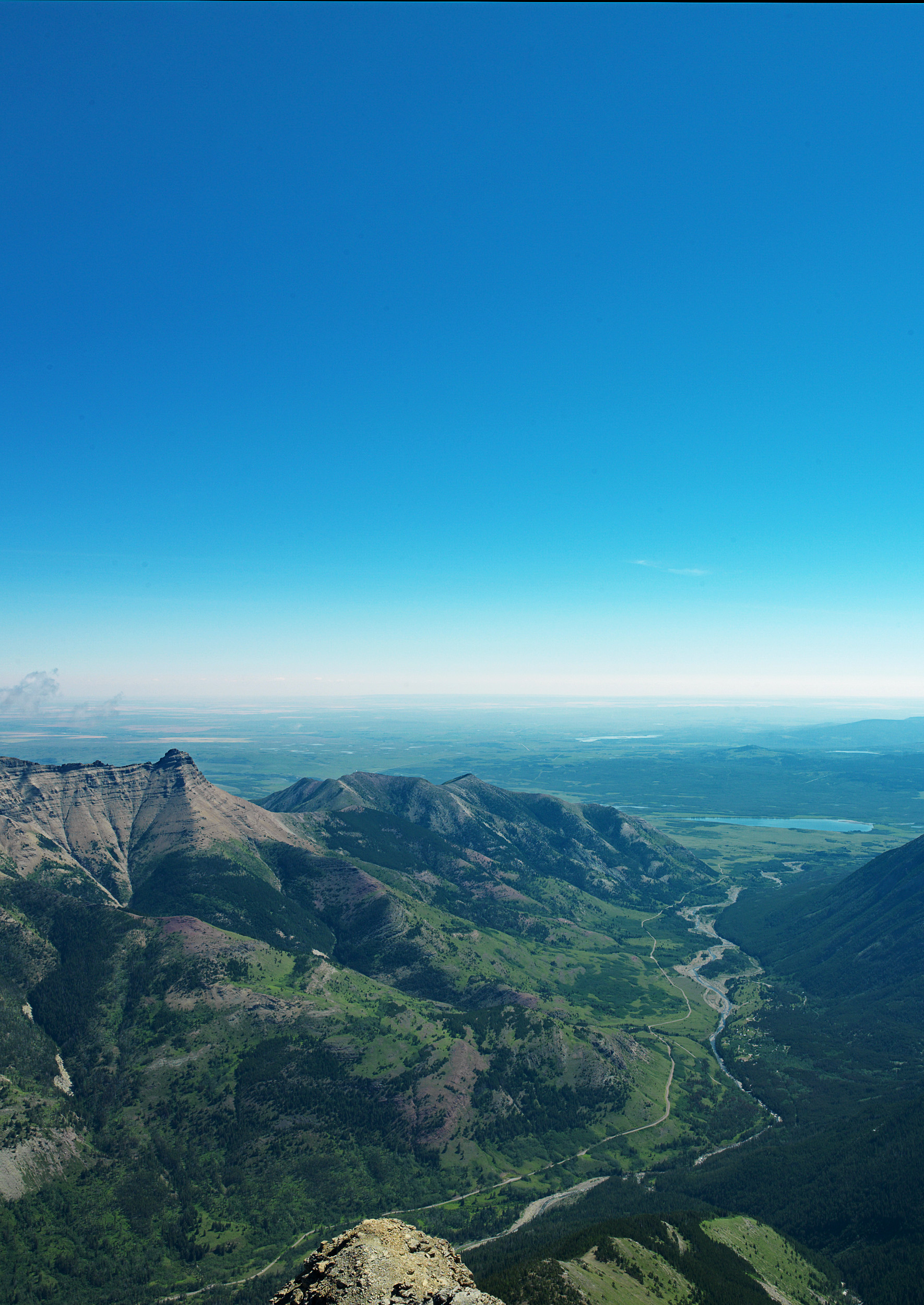
Explore a selection of third view image sets from Waterton Lakes National Park. The historic images were taken by various surveyors between 1913 and 1915. The pre-fire images from 2004 and post-fire from 2019 were taken by MLP researchers.
To get a deeper look at the collection check out the Mountain Legacy Project Explorer.
Lakeview 1
Crandell 1
Anderson
Blakiston Shoulder
Avion Ridge
Lost Mt.
Festubert
Cameron Bend
Blakiston Mouth
Project Researchers
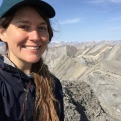
Cassandra Buunk
MA 2021 - School of Environmental Studies
Cassandra’s thesis research centers around interviews she conducted with Parks Canada staff in Waterton Lakes National Park to understand their experience with the Kenow wildfire and how they are grappling with major disturbance events in the context of global change.
Project Supporters


